Geological
Survey of
Pakistan
Welcome
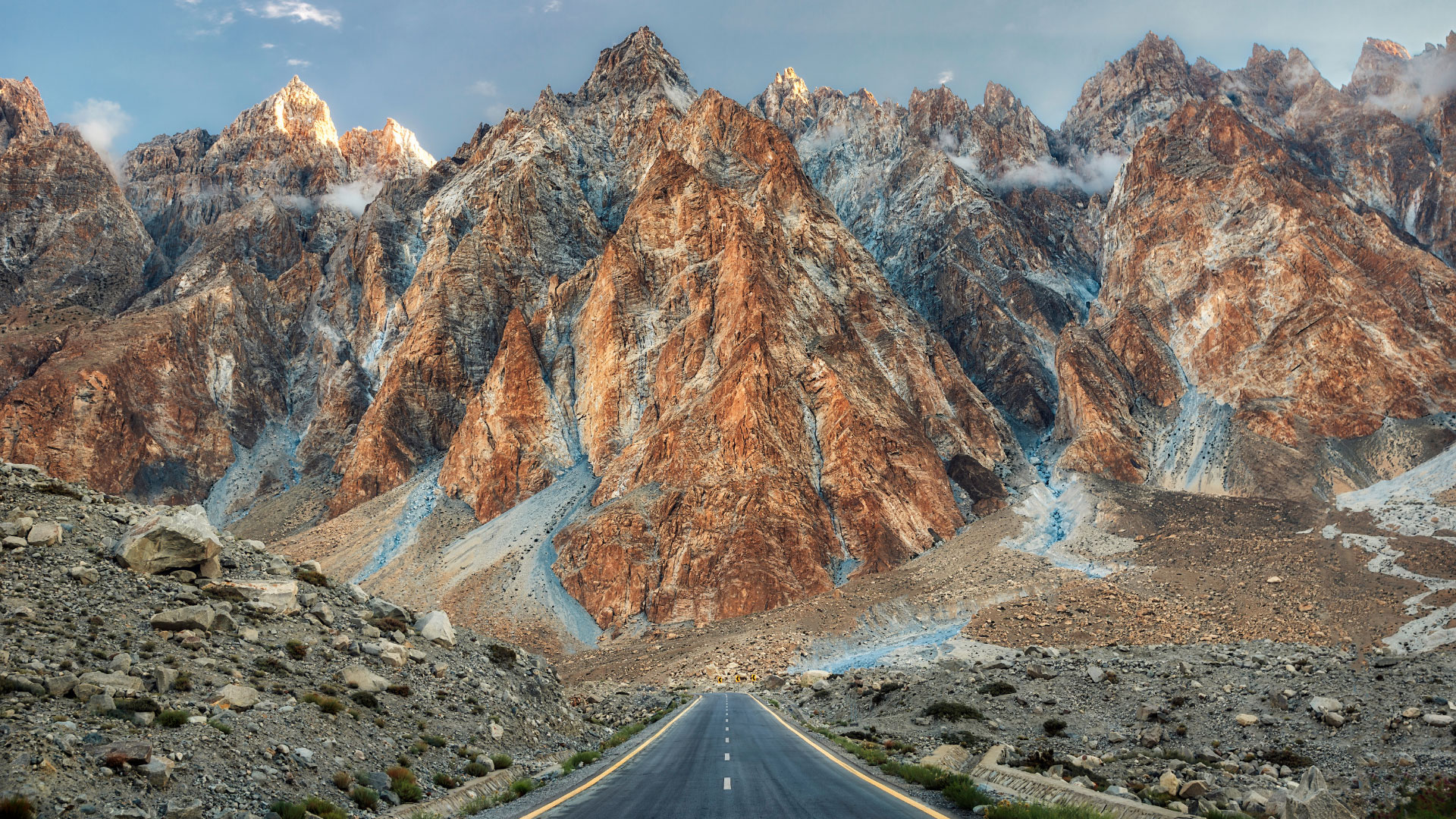
Passu Cones
Passu is a small village located in Gojal valley upper Hunza of the Gilgit Baltistan, Pakistan region of Northern Pakistan.
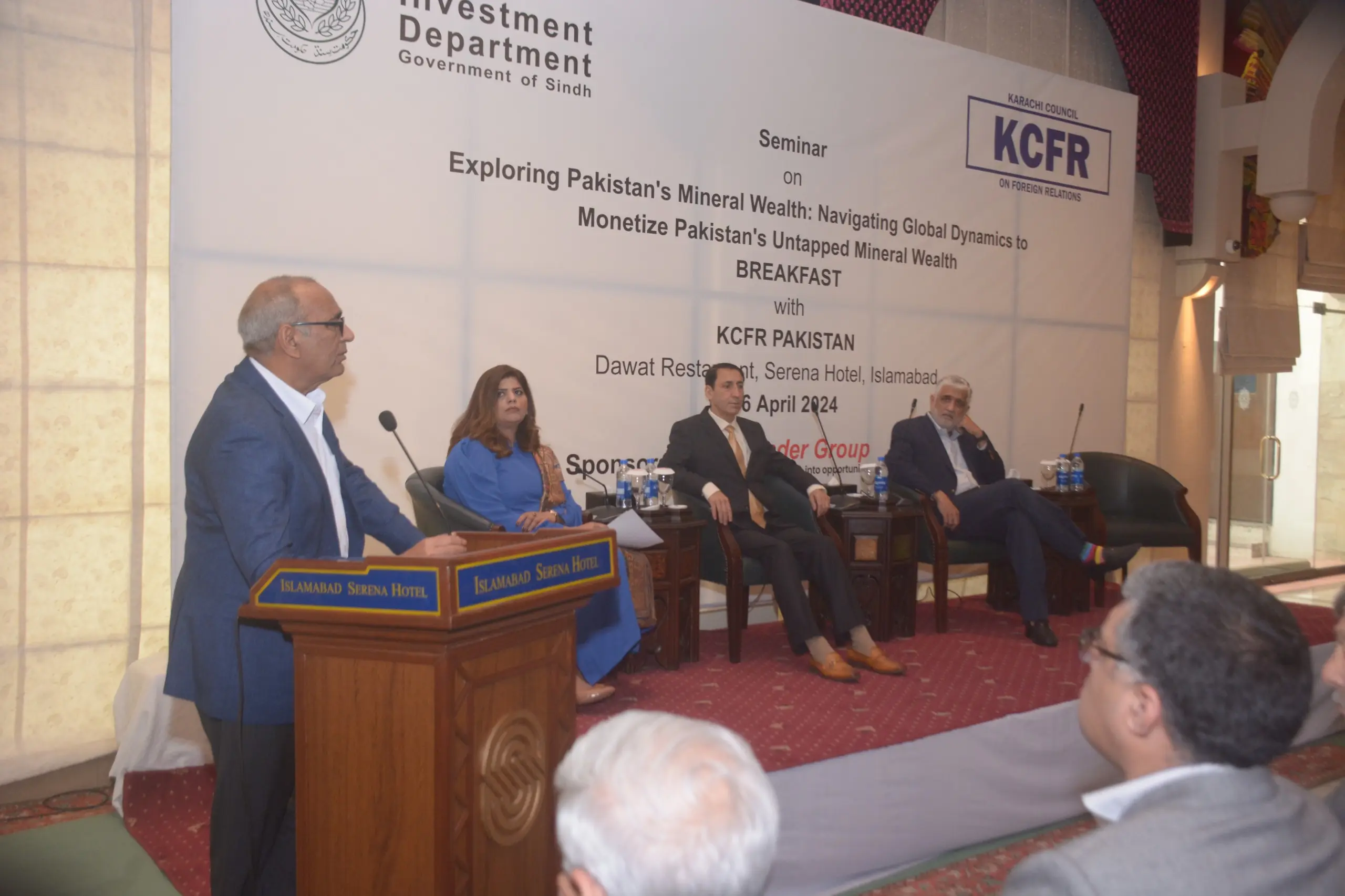
National Collaboration
Dr. Sajjad Ahmad, DG GSP, participated in the seminar titled "Exploring Pakistan's Mineral Wealth: Navigating Global Dynamics To Monetize Pakistan's Unmapped Mineral Resources." During the event, DG GSP delivered a keynote speech highlighting the mineral potential of Pakistan. The seminar took place on April 16, 2024, at the Serena Hotel in Islamabad, sponsored by the Investment Department of the Government of Sindh and the Karachi Council for Foreign Relations.
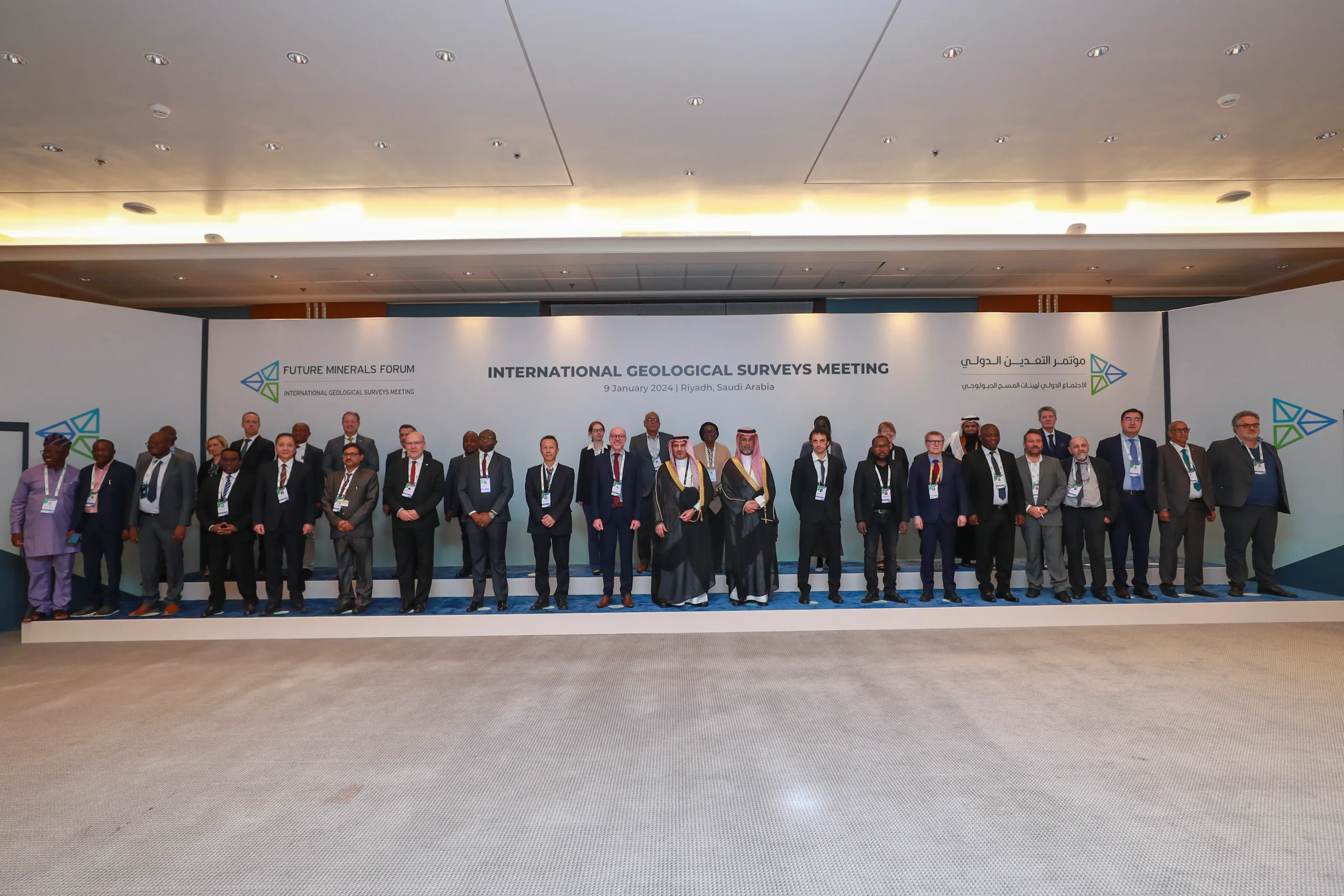
International Collaboration
Dr. Sajjad Ahmad, Director General Geological Survey of Pakistan, participated in the International Geological Surveys Meeting held on January 9, 2024, at the occasion of Future Mineral Forum Riyadh, Saudi Arabia
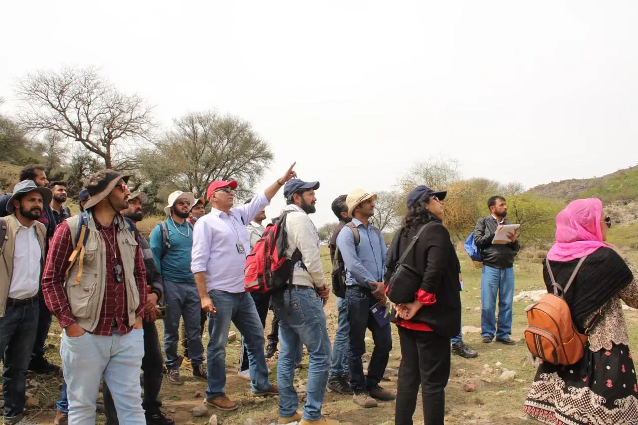
Training Workshop
During the training course titled "Applied Techniques of Geological Mapping", fieldwork took place at the Khair-e-Murat Ranges under the guidance of Dr. Sajjad Ahmad, Director-General, Geological Survey of Pakistan (GSP)
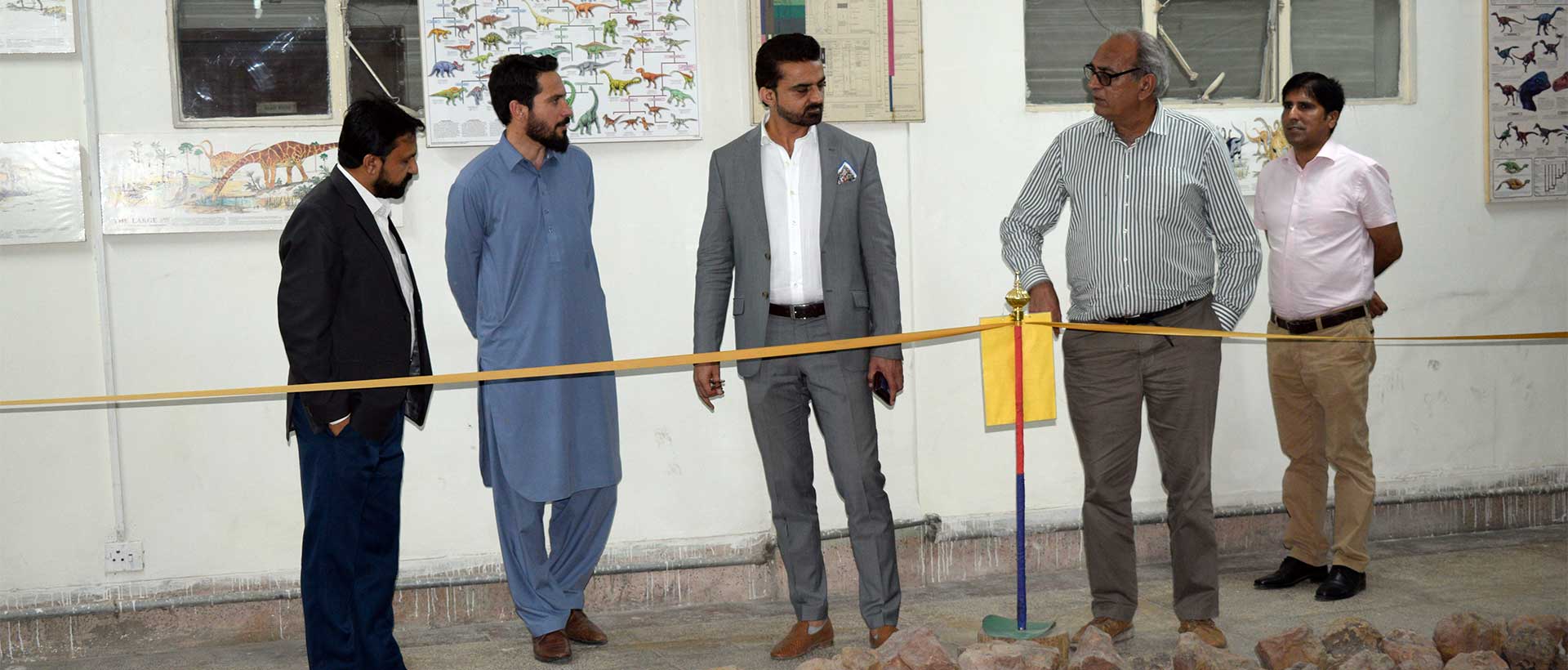
Secretary Visit
Secretary, Ministry of Energy (Petroleum Division) visits Museum of GSP Headquarter office Quetta

International Collaboration
Dr. Sajjad Ahmad, DG GSP chaired a meeting with CGS for future co-operation
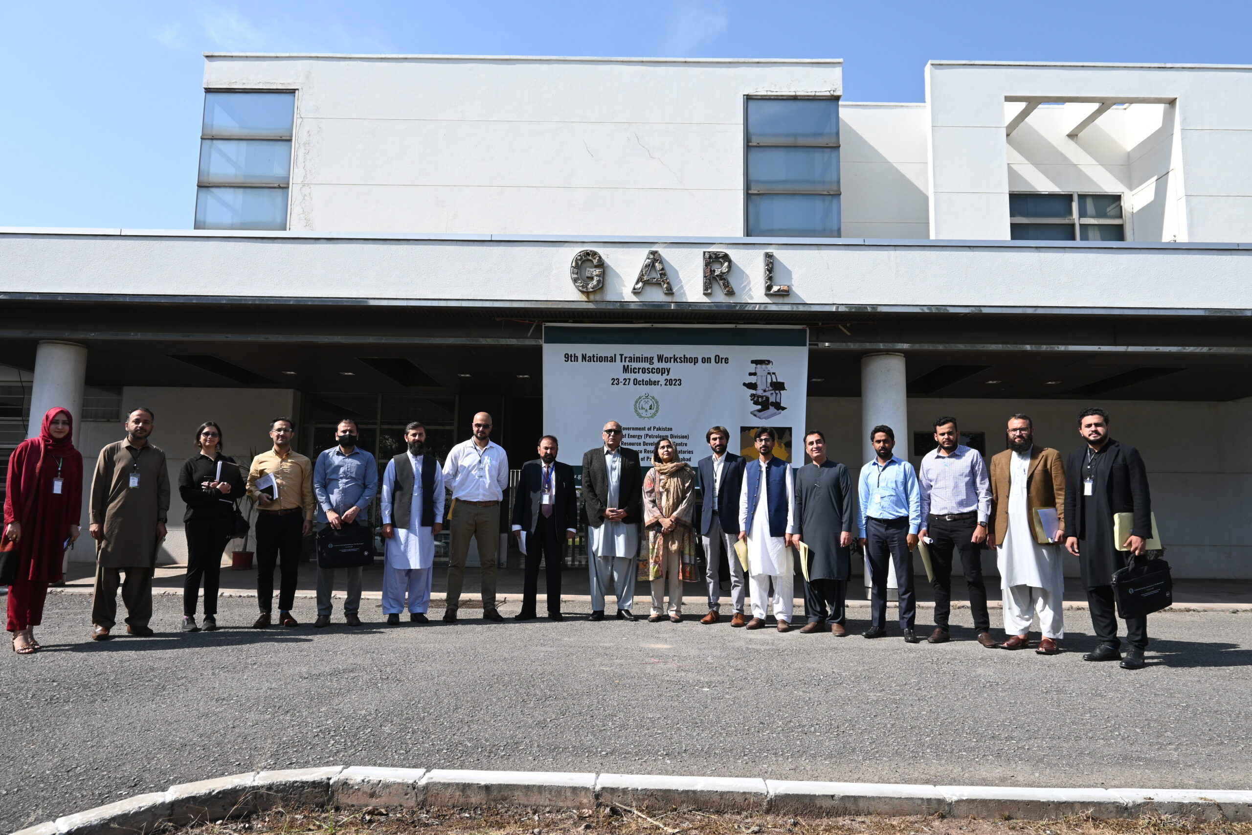
Training Workshop
9th National Trainig Workshop on ore microscopy 23-27 oct 2023 held at HRDC, GARL, GSP Islamabd
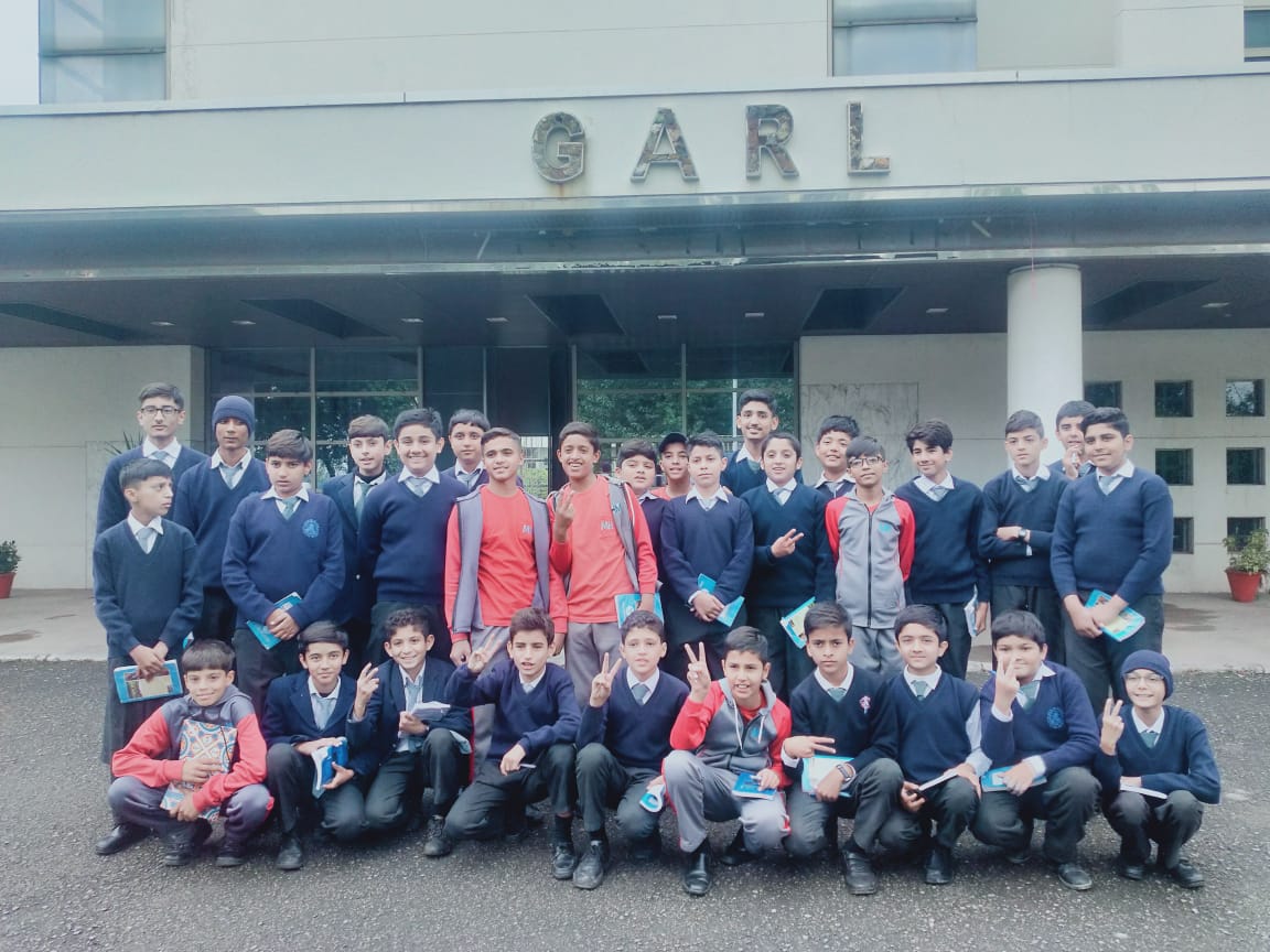
MHSOEI's Visit
MHSOEI's Students visited Geoscience Advanced Research Laboratories, GSP Islamabad
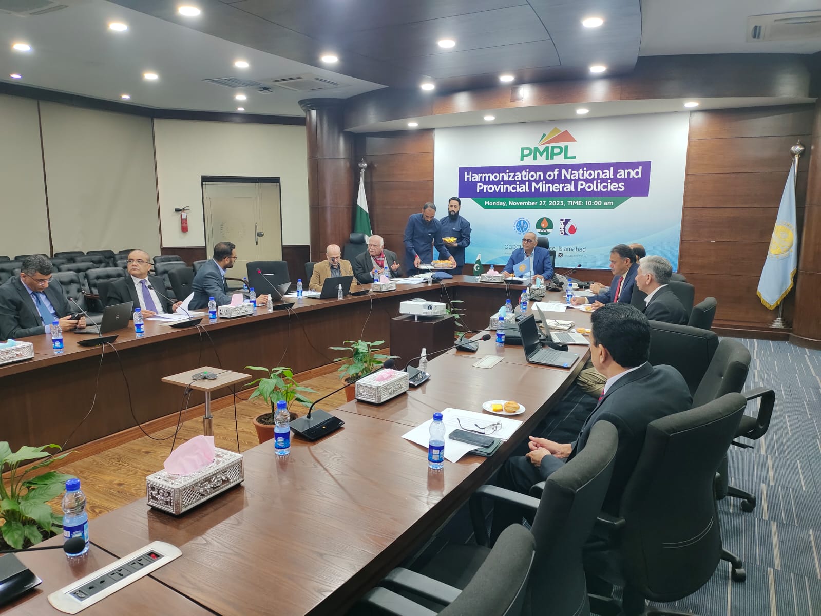
National Collaborations
Dr. Sajjad Ahmad, DG GSP Chaired "Harmonization of National and Provincial Mineral Policies" at the OGDCL Head Office Islamabad.
MoU's
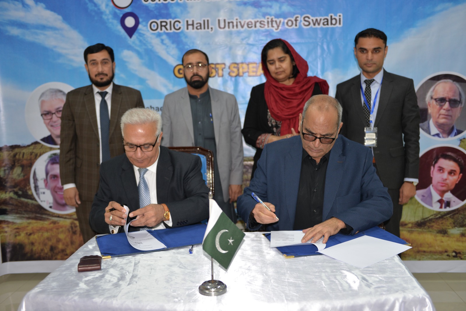
MoU between Geoscience Advance Research Laboratories, GSP and University of Swabi
International Collaborations
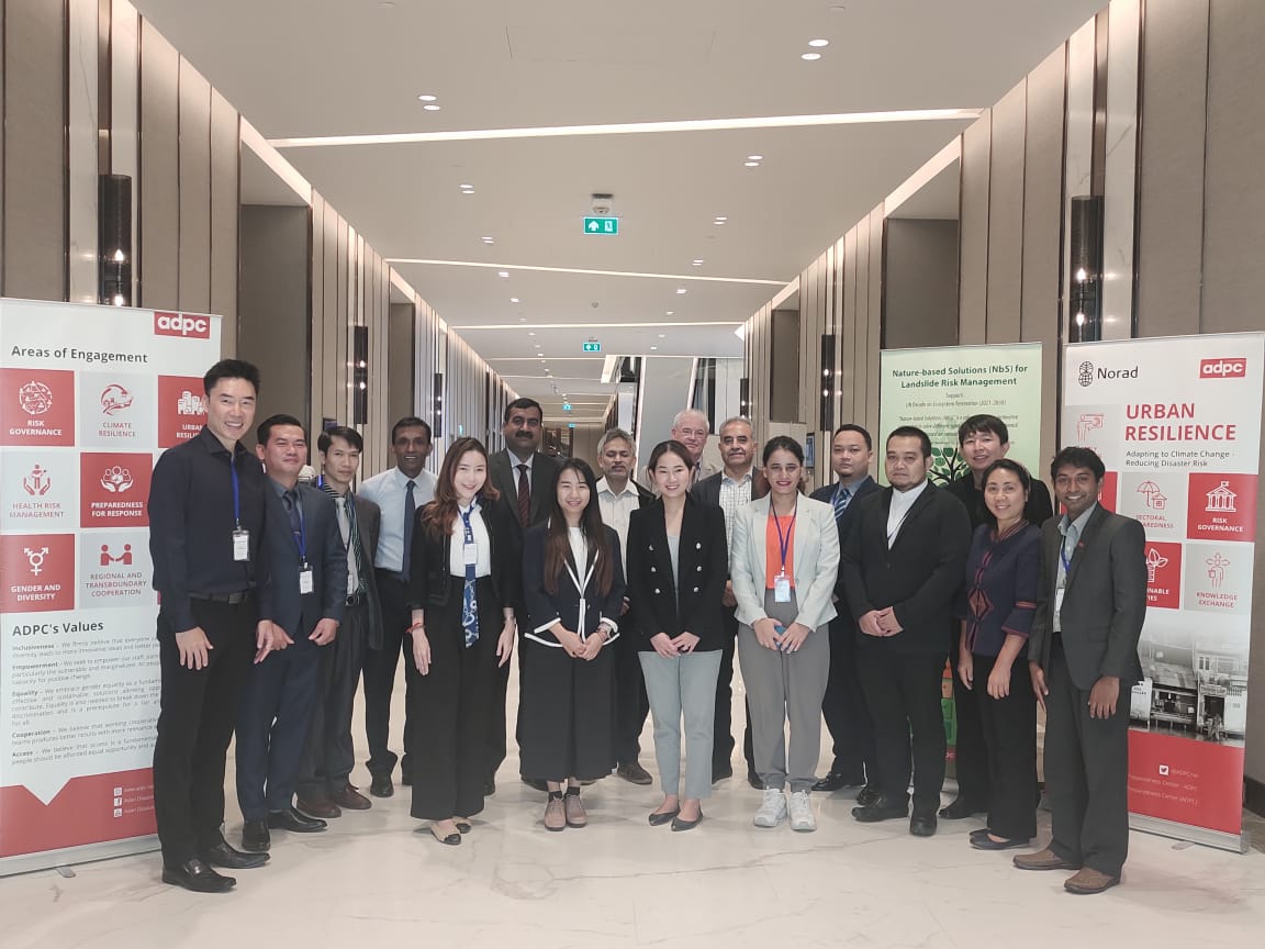
Mr. Adnan Alam Awan, DDG GSP represented the country in the meeting “Regional Capacity Enhancement for Landslide Impact Mitigation (RECLAIM)” held from 30 Nov to 01 Dec 2023 in Bangkok, Thailand
International Collaborations
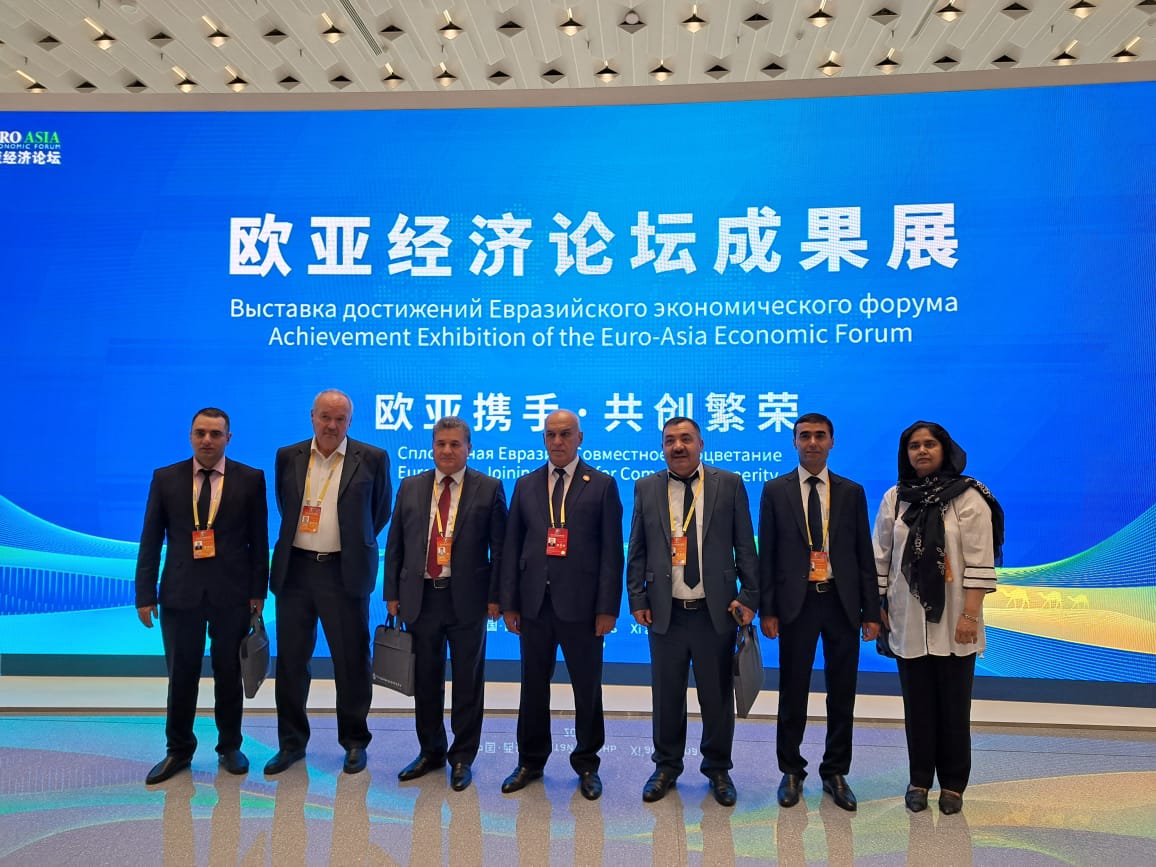
Ms. Naghma Haider, Director GARL GSP Represented The Country In forum "2023 Eurasian International Geosciences Cooperation and Green Mining Investment Forum" Hosted by SCO China.
Pakistan and China jointly launch new popular science works
Building Dreams Westward - Exploring Lead and Zinc Resources, Adhering to the Original Aspiration of Serving the Country
The popular science video with the same theme as the book, “Building Dreams Westward – Exploring Lead and Zinc Resources, Adhering to the Original Aspiration of Serving the Country” shows the audience the epitome of the hardships of Chinese geological science and technology workers in the “Belt and Road” exploration of lead and zinc mines, and uses a 3D animation model to demonstrate in detail and vividly This work introduces the formation process of lead-zinc deposits, introduces the distribution and future prospecting potential of lead-zinc deposits in the Tethys metallogenic domain located at the core of the “Belt and Road”, and describes the significance of lead-zinc deposits to local economic development. The video was reposted by many media after being released simultaneously on the six platforms of ScienceNet, ScienceNet Video Official Account, ScienceNet Weibo, ScienceNet Toutiao, ScienceNet Douyin and ScienceNet Station B under the China Science Daily, and the response was enthusiastic.
The two works are well-produced, telling about the efforts made by Pakistani and Chinese geological science and technology personnel to carry out international cooperation in the “Belt and Road”, serve local economic and social development, consolidate China-Pakistan friendship, and promote the construction of the China-Pakistan Economic Corridor. More people have participated in the “Belt and Road” initiative and contributed to the friendship between Pakistan and China.
DG's Vision
To promote sustainable development and utilization of National mineral resources through accelerated standard geological, thematic, geochemical and geophysical mapping of the country. To build an authentic database of geoscientific information and extend its regional exploration work to detail exploration stage in potential terrain of the country. To identify natural hazards of geological origin, their monitoring and mitigation of their impacts and addressing core challenge areas including depletion and contamination of drinking water.

About GSP
The geological information is compiled and disseminated in the form of geological reports and maps. Geological maps provide a bird’s eye view of the surface (and subsurface) distribution of various types of rocks and economic minerals that are found in a particular region. These maps are, thus, essential for all future detailed geological works including, mineral exploration, civil engineering, soil surveys, land use and soil conservation projects. Worldwide experience suggests that geological maps on 1:50,000 scale provide the most useful information and meet the requirement of most of the demands.
Charter of the Geological Survey of Pakistan
Government of Pakistan, Ministry of Energy (Petroleum Division), approved the following charter for the Geological Survey of Pakistan:
- Geological mapping and Geoscientific Surveys
- Minerals exploration
- Geo hazard risk management
- Basic and applied research
Mission
- Transformation to modern era
- To manage the water scarcity
- To increase the GDP of minerals in Pakistan
- Geological mapping
OUR PROJECT
PSDP PROJECTS
GEOLOGY & MINERAL EXPLORATION
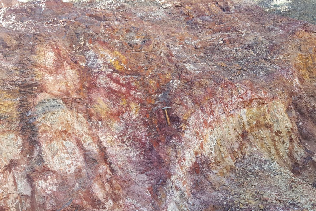
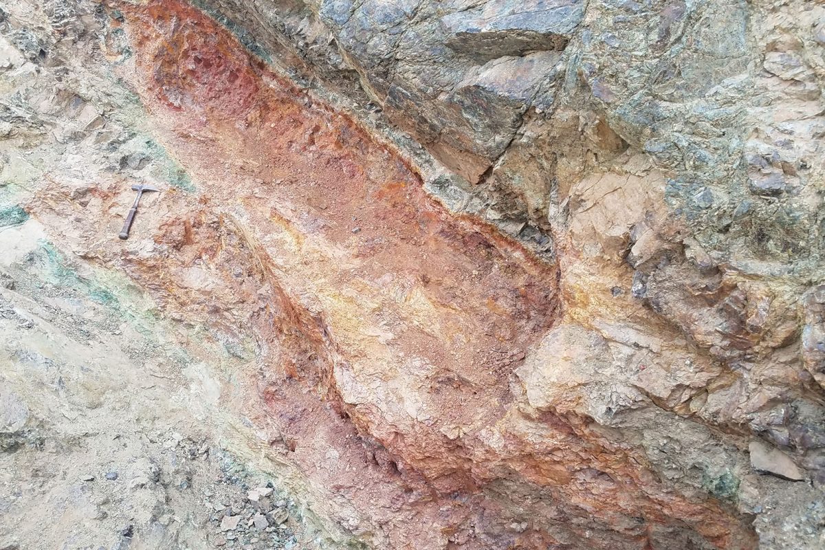
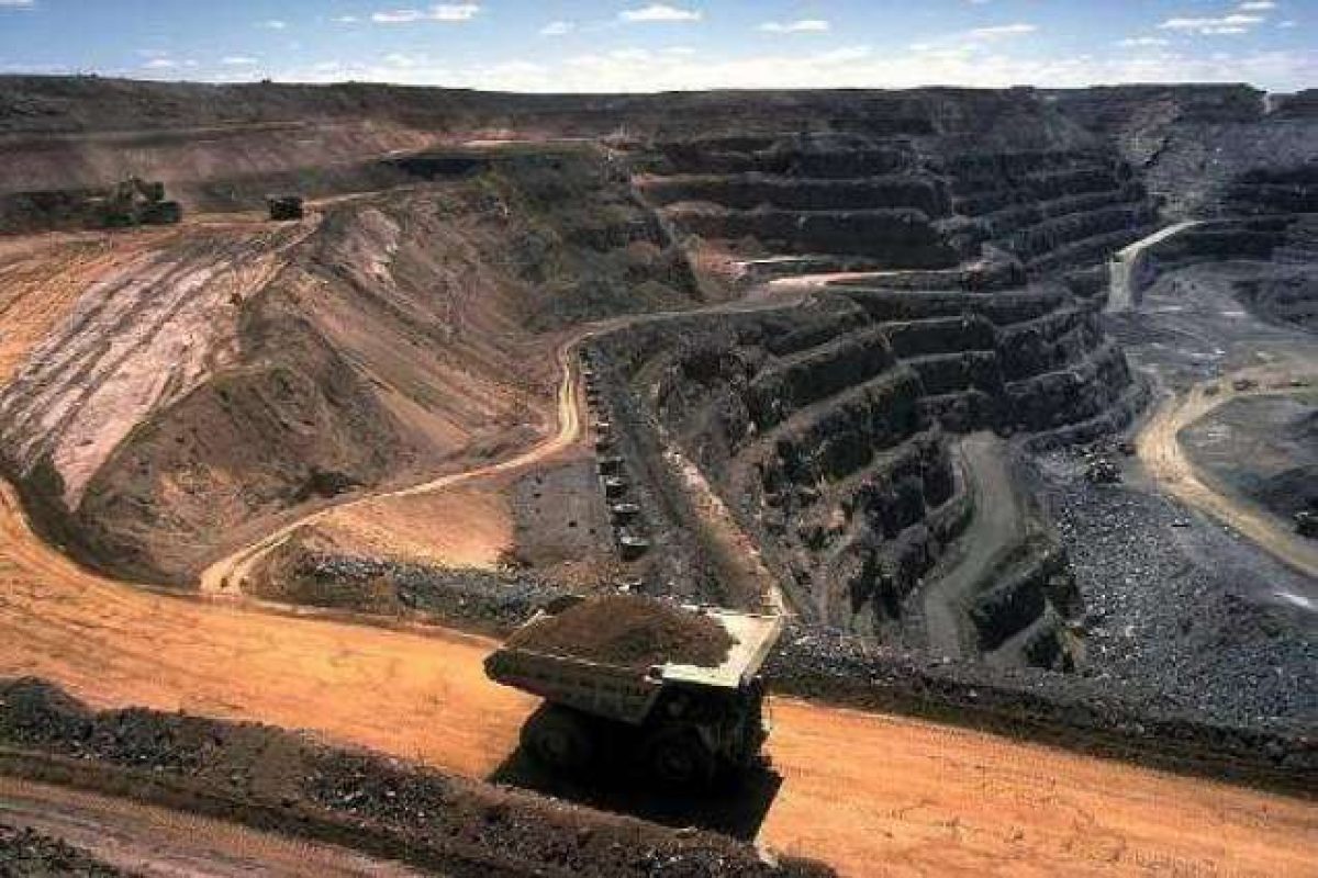
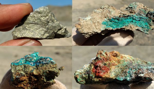
The Geological Survey of Pakistan (GSP) is responsible for the study of the geology of the country in all pertinent details and to assess its geological resource potential…
GEOPHYSICS
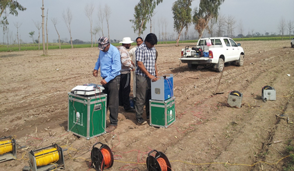
Geophysics Division mostly carries out investigations for the minerals and groundwater studies. Sometimes projects are also undertaken as per requirements of the geological Divisions…
DRILLING
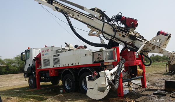
The drilling section is responsible for drilling including coring & non-coring mineral exploration projects of the department and outside agencies…
CHEMISTRY
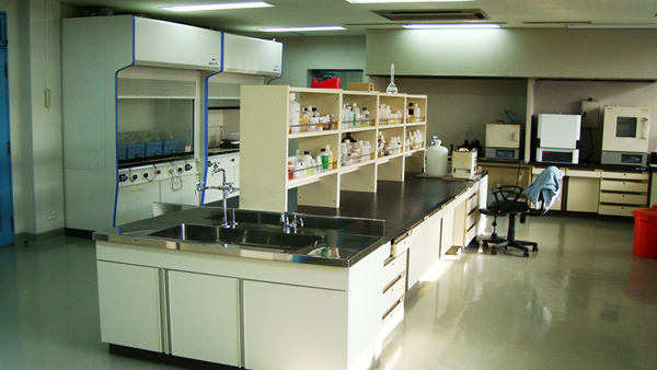
The Chemistry Laboratory is responsible for any type of chemical research and analysis pertaining to rocks, minerals, water and coal samples. It facilitates and provides chemical assessment to the projects conducted by geoscientists of GSP...
PETROLOGY-MINERALOGY
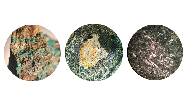
Petrology-Mineralogy Is responsible for Igneous Metamorphic Petrography, Carbonate Petrography, Clastic Sedimentary Rocks Petrography, Thin Section Preparation and Ore Microscopy…
HYDRO-GEOLOGY
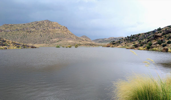
Hydrogeology branch is responsible for the Groundwater investigation in the country.
REMOTE SENSING & GIS
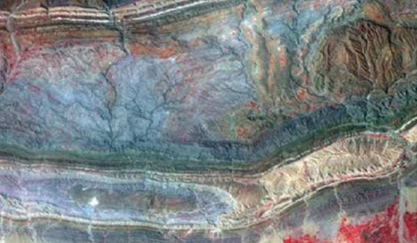
A geographic information system (GIS) is a tool for digitizing mapping and analyzing earth events. Remote sensing can characterize and identify earth features using satellite imageries…
HEAD QUARTER – DIVISIONAL & REGIONAL OFFICES

CONTACT US
FEEL FREE TO CONTACT


